Nuvecta™, VFR-Series™, Treeline North America™, Landscapes North America™, The Airfield Collection™, Flights of Fantasy™, and RepoX!™ are trademarks of nuvecta llc
All other trademarks belong to their respective owners and are use for purposes of reference only. nuvecta llc implies no ownership or breach of rights of the respective parties
©2014-2017 Copyright nuvecta llc All Rights Reserved
Landscapes™ takes accurately placed land use data and converts it into FSX and Prepar3D autogen for placement onto photo-real scenery. Suddenly the photo-scenery springs to life as you maneuver close to ground level - at the airfield, taking off, on approach, or landing.
The process uses detailed data based upon commercially-enhanced USGS topo map resources or from other sources, depending upon the geographic region. At a map scale, this is the equivalent of 1:15000 to 1:24000.
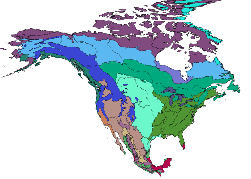
Outlines of the wooded or forested areas are developed and matched with Level II eco-region data from the EPA (see image). The flight simulation data is then processed state-by-state to produce a finished product.
The product also adds buildings, either in accurate positions from spatial data, or using proprietary nuvecta algorithms